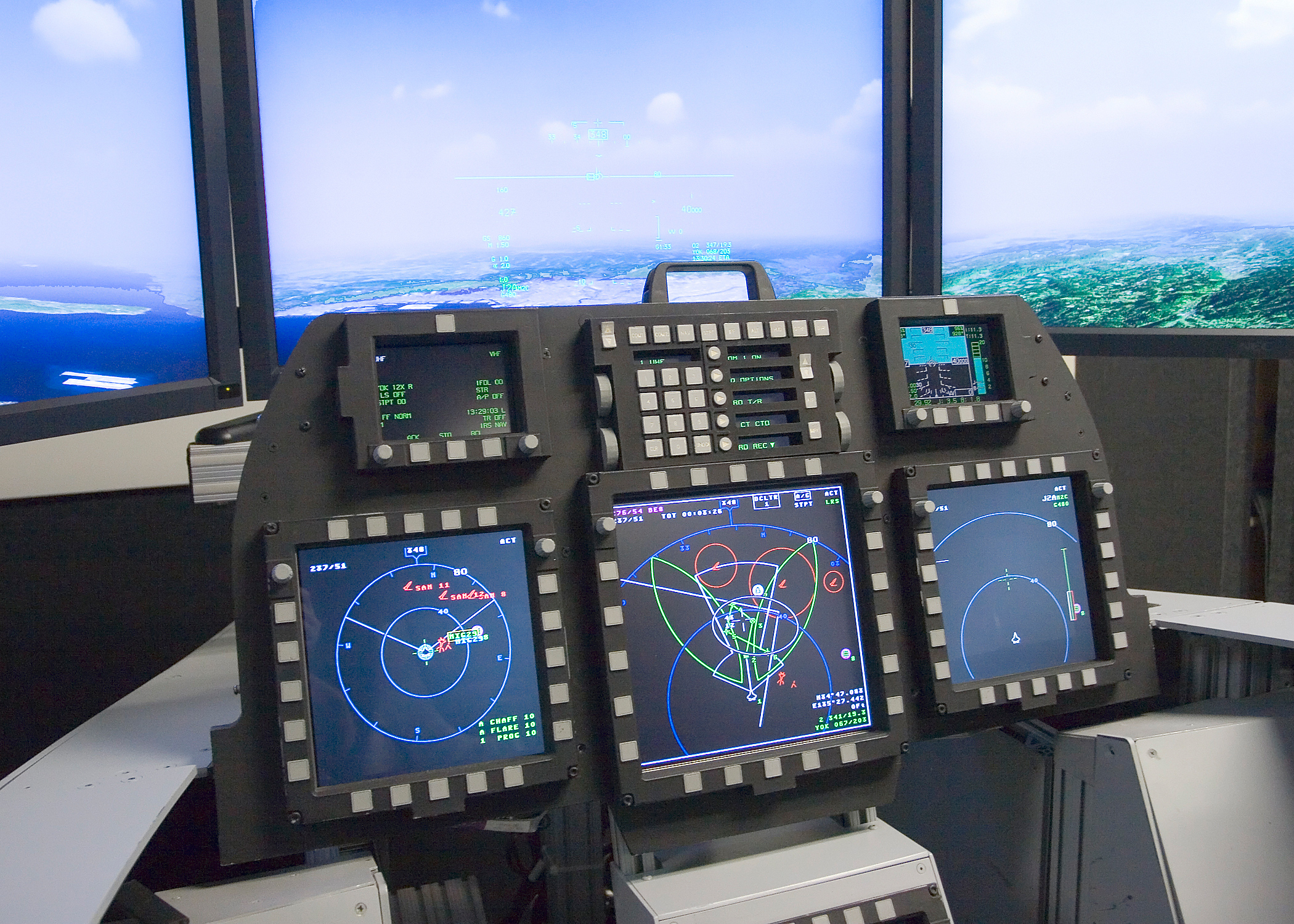
Navigation
ground stations for navigation
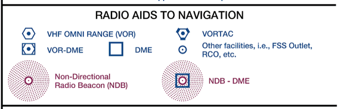
The civilian aviation radio navigation stations are:
- Non Directional Beacon (NDB)
- VHF Omnidirectional Range (VOR)
- Distance Measuring Equipment (DME)
- VOR / DME combined (VOR/DME)
A more detailed explanaton can be found here
and military:
- TACAN (military VOR/DME) which is smaller, portable if need be, and can even be flown around, in a tanker aircraft for example. Most air bases and carrier ships will feature a TACAN.

- VORTAC is a combined VOR/DME & TACAN facility
flight instruments for navigation
Horizontal Situation Indicator (HSI)
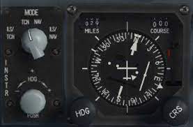
The HSI shows your heading by using a directional gyro compass (DG) and bearing to VHF (VOR, ILS) or TACAN stations through the Course Deviation Indicator (CDI).
| TACAN receiver and HSI |
 |
Radio Magnetic Indicator (RMI)
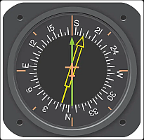
The RMI combines a DG with bearing indicators (needles) that can point to various ground stations. ADF, VOR, VOR/DME, TACAN or VORTAC (VOR and TACAN station combined).
GPS
Obviously in this day and age use of satellite navigation (GPS), combined with other means, like radio navigation, doppler radar, inertial navigation (INS) gives the military aviator ample means of finding his targets and getting back home...